Tired of wasting time in traffic and wondering which Glendale neighborhood will make your L.A. commute smoother? You are not alone. Choosing the right pocket of Glendale can trim real minutes off your daily routine and match the lifestyle you want. In this guide, you will see how each area stacks up for rail access, freeway choices, and day-to-day trade-offs so you can pick with confidence. Let’s dive in.
Why Glendale works for L.A. commuters
Glendale gives you multiple ways to reach major job centers. Downtown Glendale is home to the Glendale Transportation Center, which connects to Metrolink’s Antelope Valley and Ventura County lines and Amtrak’s Pacific Surfliner. That puts Union Station within a short rail ride and makes Burbank an easy hop.
If you drive, Glendale sits where several key corridors meet. The city is served by four state and interstate freeways: State Route 2, State Route 134, Interstate 5, and Interstate 210. Your neighborhood choice often determines which of these you use daily.
Citywide, Glendale’s average work trip is about 27 minutes. Real-world peak conditions in the Los Angeles region can add time, so plan for variability. Regional data shows traffic congestion is among the highest in the U.S., which makes smart neighborhood selection even more valuable.
Rail vs. driving: what to know
Metrolink is a commuter-rail system with more frequent service during weekday peaks. From Glendale, scheduled rail travel times to Union Station are often about 12 to 20 minutes, and the hop between Glendale and Downtown Burbank can be roughly 5 to 10 minutes depending on the train and time of day. If you plan to ride the train, factor in last‑mile details such as parking, drop-off, or bus connections.
Local buses help with short connections. Glendale Beeline operates neighborhood circulators that link many areas to the station and key streets, and they complement Metro bus service. Review routes and timing since transfers are common on local service. You can learn more about Beeline’s role in the system here.
Best Glendale areas for L.A. commuters
Below are five Glendale neighborhoods or clusters that buyers often consider. Boundaries vary by source, and local names can be informal. For orientation and community context, see the city’s MapGlendale community resources.
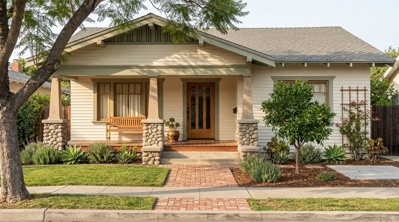
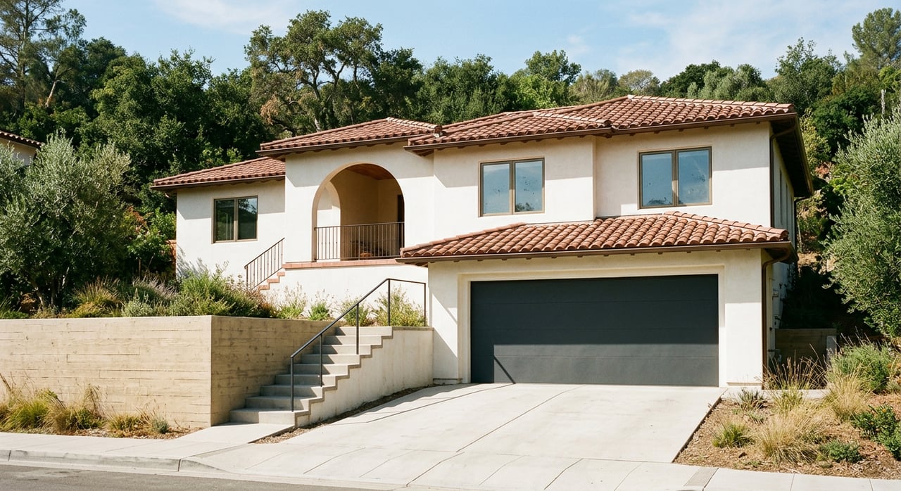
Downtown Glendale, Rossmoyne, Pacific Edison
If you want rail-first convenience and walkable amenities, focus here. The station is nearby, which keeps Union Station close and Burbank within a very short rail hop. For drivers, CA 134 and I‑5 are easy to reach, and major surface streets like Brand and Colorado help with local access.
What you gain: the quickest path to Metrolink and a lively, amenity-rich core. The trade-off: busier streets, higher demand, and more competition for parking near retail centers.
Tropico and South Glendale
This pocket blends station access with flexible driving options. You are close enough to reach the Glendale Transportation Center quickly while keeping convenient onramps to I‑5 and CA 134 in play. If your week mixes rail rides with studio commutes by car, this area can strike a good balance.
What you gain: multiple commute modes within a short reach. The trade-off: mixed housing types and more activity along major arterials, which can mean a bit more noise.
Chevy Chase, Glenoaks Canyon, Adams Hill
On Glendale’s west side near the Burbank border, these neighborhoods make quick car trips to studio campuses and Downtown Burbank more realistic. Hillside pockets like Glenoaks Canyon have curvier local streets, so your routine may include a short drive to the freeway or the station if you plan to use rail.
What you gain: shorter drives to Burbank and the San Fernando Valley. The trade-off: you will still feel peak-hour variability on CA 134 or I‑5, and rail access usually requires a short drive or bus connection.
Montrose, Verdugo Woodlands, San Rafael Hills
These foothill neighborhoods offer a quieter, more residential feel with larger lots and access to I‑210 and local arterials. If your job is in Pasadena or farther east, this side can save time compared with crossing the whole city. For Downtown L.A. or the Westside, expect a longer door-to-door plan or a drive to the station first.
What you gain: space, calm streets, and a suburban rhythm. The trade-off: fewer immediate transit options and longer local drives to rail or freeway onramps for L.A.-bound trips.
Verdugo Mountains, Rancho San Rafael, Riverside Rancho
Upper-Glendale hillside areas deliver views and a low-density feel while keeping freeway options within reach. Most commuters here plan on driving to CA 2, CA 134, or I‑210, then settling into the flow.
What you gain: privacy, scenery, and a single-family neighborhood vibe. The trade-off: more time in the car for most job centers and fewer walkable transit choices.
How to choose your corridor
Pick the neighborhood that aligns with both your commute and daily rhythm. Use these simple filters:
- Downtown or Burbank jobs: Favor Downtown Glendale, Tropico, or the west-side hills for faster station access or shorter drives to studios.
- Pasadena or foothill jobs: Look to the northeast foothills or hillside pockets that connect to I‑210 and CA 2.
- Rail-first lifestyle: Live within an easy walk, bike, or short drive to the Glendale Transportation Center and confirm train times that match your schedule.
- Larger lot and quiet streets: Consider foothill or hillside areas with accepted longer drive times.
Commute planning checklist
Before you write an offer, pressure-test the commute the way you will actually travel.
- Test your exact route at peak times. Drive it on a weekday morning and evening. L.A. patterns shift with events and weather, and regional congestion is consistently high.
- Verify train frequency and timing. Check Metrolink schedules and travel times for the station and times you need, then measure your walk or drive to the platform.
- Plan last‑mile connections. Confirm station parking, Beeline or Metro bus links, and ride-hail or bike pick-up zones. See an overview of Glendale Beeline’s local circulators.
- Check noise and freeway exposure. Visit at different times to evaluate sound levels near CA 134, CA 2, or I‑5 and decide if the trade-off works for you.
- Align home features with commute mode. Walkability, parking or garage needs, and your preference for condo versus single-family all shape how you get to work.
Projects to watch
Metrolink is investing in regional improvements through its SCORE program, including upgrades around the Burbank junction that aim to improve trip times and frequency in coming years. Keep an eye on updates from the agency about service changes or enhancements that could affect Glendale riders. Read more about the program’s goals here.
The bottom line
Glendale gives you choices. If you want a rail-ready lifestyle and walkable amenities, stay close to the station in Downtown Glendale or Tropico. If your work is in Burbank or the Valley, west-side pockets can shorten your drive. For a quieter foothill life, expect more time in the car in exchange for space and views. A few careful test runs will tell you which trade-offs fit your day best.
If you want personal guidance on neighborhoods, commute routes, and on-market options, connect with Frank Hogstrom to map a commute-first home search that fits your goals.
FAQs
Which Glendale areas are best for commuting to Downtown L.A.?
- Downtown Glendale, Rossmoyne, and Pacific Edison offer the closest access to the Glendale Transportation Center for quick Metrolink trips to Union Station.
How long is the train from Glendale to Union Station?
- Scheduled Metrolink travel times are often about 12 to 20 minutes, with frequency higher during weekday peaks.
Is Glendale a good home base for Burbank studio commutes?
- Yes, west-side areas like Adams Hill, Glenoaks Canyon, and Chevy Chase shorten drives, and Glendale-to-Downtown Burbank rail hops can be roughly 5 to 10 minutes.
What are the main freeways Glendale commuters use?
- Most drivers use State Route 2, State Route 134, Interstate 5, and Interstate 210 based on neighborhood location and destination.
Are there local buses that connect to Glendale’s train station?
- Glendale Beeline operates local circulators that link neighborhoods to the Glendale Transportation Center and complement regional Metro buses.